I am cold. I’ve discovered a new sub-hobby1, and that’s collecting digital scans of video game manuals and magazines.
Continue reading “The Jarbochov Weekly Roundup (January 28th, 2022)”There’s A Map For That: Part One
How To Make Your Own Digital Map
Fortunately there are several free tools out today that allow you to store your own created maps. The best by a large margin is Google, who has put an amazing amount of effort into their mapping business since 2005. Anyone who recalls the Mapquest days can attest to this.
Google offers a feature called My Maps. My Maps allows you to easily create your own maps with pins, or routes, or even areas. You’ll need a Google Account in order to use this.
From there it is pretty simple. You can search for addresses or businesses or if you know the exact latitude and longitude, that’s available as well.
You can choose from different map views such as street view or aerial imagery. You can put your pins into different sets, add hyperlinks, or other information. You can even select different markers.
Google allows you to share maps privately or publicly. If you share them publicly you can embed them on a website. Like so:
Once you’ve saved your map, it’s saved in THE CLOUD (Google Drive). But if you want to take things a bit further, there are more options. You can export your map, print it, or save it to a PDF.
The export feature allows you to save your map in a KML format, which stands for Keyhole[1] Markup Language. KML is based on XML, and has become a standard for displaying location-based information on a map along with GPX (which we’ll get to in Part Three). As of right now, KML is a fairly reliable way of storing your location data to import into other programs, such as Google Earth, where you have more options to manipulate your data.
Unfortunately Google doesn’t currently allow you to edit My Maps on iOS, but they can be viewed in the Google Maps app on iOS. This is unfortunate as you’re most likely going to have your phone on you when you want to record your location. Android users are a little more fortunate. You can, however, send yourself a link of where you are, and add it once you get to a computer. Hopefully they fix this in the future.
There are other ways of recording your locations on your phone without ever touching a computer. My suggestions for this are:
* Day One: A journaling app for iOS and Mac OS that allows you to record your location and more.
* Gaia GPS: A more advanced GPS app for your phone that allows you to store maps on your phone without a cellular signal, and record hikes or runs and export them a number of ways.
Now with this general information you can start building your own digital map. In Part Two, I’ll go over some social media apps like Foursquare/Swarm and Flickr, and show you how you can use them to add to your lifelong digital map, which will be a bit more advanced with xml data types. So if you want to go more in depth, stay tuned.
- Before Google Earth was Google Earth, it was Keyhole. Surprisingly the founder and CEO of Keyhole is the founder and CEO of Niantic, the creators of the new popular app Pokémon Go. ↩
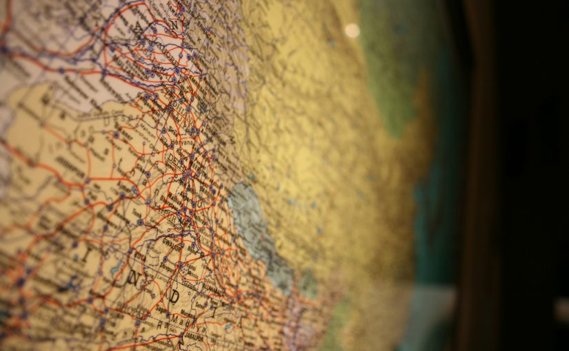
There’s a Map For That
Introduction
In 2016 we have more information available at our fingertips than ever before. Now we can navigate to many locations with relative ease compared to the old word-of-mouth directions and paper maps of yesteryear. GPS units used to be a luxury, but with the growing number of smartphones everyone has access to free up-to-date maps, whether it be Google, Apple, Waze, etc. In my opinion this is fantastic. We have a fairly accurate visualization of the world in the hands of billions.
Maps can relay information as well as stories. Location has always been important to me and deeply tied to my memory. For example, I was able to locate a motel my family stayed at when I was a youngin’ during a vacation to Kentucky with only a visual memory of the road and building layout. I was able to find it using satellite imagery on Google Maps. I haven’t been there in 20 years and didn’t remember any specifics, but I remembered the general area.
The past few years I’ve been trying to map places I’ve been to. Places that were memorable or interesting and might allow me to recall a story. And unlike pins on a map of United States on the wall, I’ve been doing it digitally with the latitude and longitude as precise as I can. The preciseness is important to me. Knowing I went a restaurant in a city is not enough detail. I prefer to know exactly where and when I was somewhere.
I may not be a globetrotter or adventurous as others out there, but I wanted to share some of the methods I’ve been using over the past years. While you could keep a journal and write everything down, there are a few ways to keep your lifelog organized digitally. These ways are not always intuitive but I hope they help you or give you ideas.
This isn’t meant for everyone. Some people like to keep their privacy, and not mark down on a map every place they’ve been. But if you like to keep track of things so that you may recall them in the future, I hope you’ll find the following useful. I am going to break this out to three different parts.
- Part One: How to make your own digital map.
- Part Two: Can Foursquare/Swarm or other social media be viable in life logging and plotting on a map?
- Part Three: Uses for a decade old GPS handheld.
Stay tuned for each part soon.
Google Streetview Turns 1
Google Maps feature Streetview has turned one year old today. To celebrate they added 37 new areas and expanded coverage for 15 areas.
- MA: Springfield
- NY: Buffalo, Rochester, Syracuse
- NJ: Newark
- VA: Virginia Beach
- NC: Charlotte, Winston-Salem
- SC: Columbia, Greenville
- GA: Atlanta
- FL: Boca Raton, Cape Coral, Ft. Lauderdale, Jacksonville, Sarasota, West Palm Beach
- AL: Huntsville
- MS: Jackson
- TN: Knoxville
- KY: Lexington, Louisville
- OH: Cincinnati, Columbus, Dayton, Toledo
- MI: Ann Arbor
- MO: St. Louis
- KS: Topeka
- NE: Lincoln
- OK: Oklahoma City, Tulsa
- NV: Reno
- CA: Bakersfield, Fresno, Sacramento, Stockton
The best part for me is they added several Ohio cities, including Columbus and its suburbs.
And as an added bonus they got a photo of my Dad’s ass…. just in time for Father’s Day. I don’t think their face blurring technology will fix that. He’s not going to be pleased when I show him.
The coverage of Ohio is impressive.
You can read more about the update at the Google Lat Long Blog.
Google Earth 4.3
Google is releasing an update to Google Earth today. The update will feature (but not limited to):
New navigational controls
Streetview in Google Earth
Google Sky Loads Quicker
If you haven’t familarized yourself with Google Earth recently, it’s time to get reaquainted.
Also, the picture to the left contains all actual data. The clouds and sunlight were in realtime when viewing. How is that not cool?