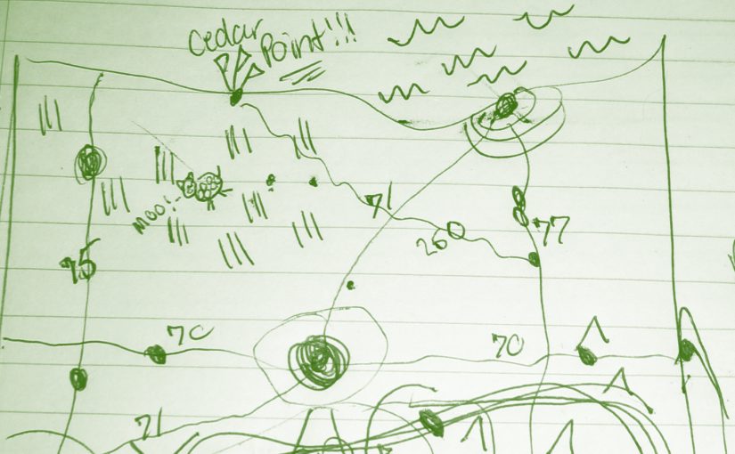
How To Make Your Own Digital Map
Fortunately there are several free tools out today that allow you to store your own created maps. The best by a large margin is Google, who has put an amazing amount of effort into their mapping business since 2005. Anyone who recalls the Mapquest days can attest to this.
Google offers a feature called My Maps. My Maps allows you to easily create your own maps with pins, or routes, or even areas. You’ll need a Google Account in order to use this.

From there it is pretty simple. You can search for addresses or businesses or if you know the exact latitude and longitude, that’s available as well.
You can choose from different map views such as street view or aerial imagery. You can put your pins into different sets, add hyperlinks, or other information. You can even select different markers.

Google allows you to share maps privately or publicly. If you share them publicly you can embed them on a website. Like so:
Once you’ve saved your map, it’s saved in THE CLOUD (Google Drive). But if you want to take things a bit further, there are more options. You can export your map, print it, or save it to a PDF.

The export feature allows you to save your map in a KML format, which stands for Keyhole[1] Markup Language. KML is based on XML, and has become a standard for displaying location-based information on a map along with GPX (which we’ll get to in Part Three). As of right now, KML is a fairly reliable way of storing your location data to import into other programs, such as Google Earth, where you have more options to manipulate your data.
Unfortunately Google doesn’t currently allow you to edit My Maps on iOS, but they can be viewed in the Google Maps app on iOS. This is unfortunate as you’re most likely going to have your phone on you when you want to record your location. Android users are a little more fortunate. You can, however, send yourself a link of where you are, and add it once you get to a computer. Hopefully they fix this in the future.

There are other ways of recording your locations on your phone without ever touching a computer. My suggestions for this are:
* Day One: A journaling app for iOS and Mac OS that allows you to record your location and more.
* Gaia GPS: A more advanced GPS app for your phone that allows you to store maps on your phone without a cellular signal, and record hikes or runs and export them a number of ways.
Now with this general information you can start building your own digital map. In Part Two, I’ll go over some social media apps like Foursquare/Swarm and Flickr, and show you how you can use them to add to your lifelong digital map, which will be a bit more advanced with xml data types. So if you want to go more in depth, stay tuned.
- Before Google Earth was Google Earth, it was Keyhole. Surprisingly the founder and CEO of Keyhole is the founder and CEO of Niantic, the creators of the new popular app Pokémon Go. ↩

Leave a Reply